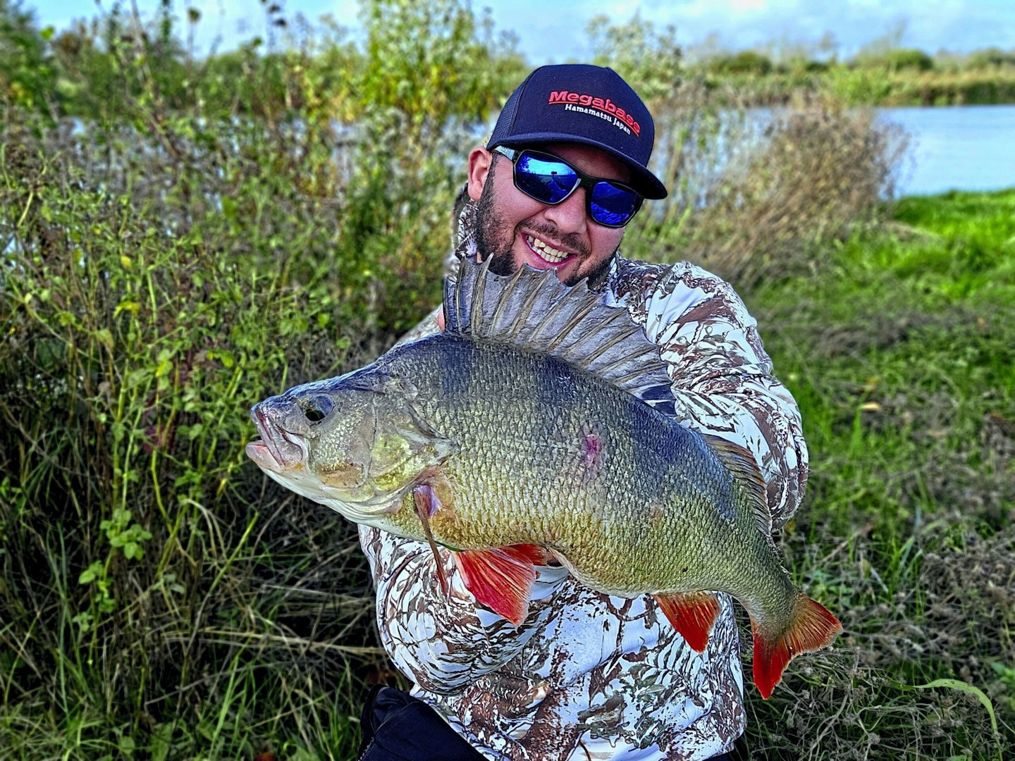
Like it or not, the use of technology in angling, as in most aspects of life, is increasing every year. Whether it’s drones, fish finders, or underwater cameras, anglers are becoming increasingly skilled at using tech to improve their chances of landing more fish. Robert Onicala embraced this trend by using Google Maps before a recent session to identify areas that seemed likely to hold perch.
“I’ve recently started to fish again after surgery that put me out of action for over two months," he told us.
“Before going, I spent some time on Google Maps to try and find a few new spots to try. Having located an area I fancied, I drove an hour from my home in Bedford, only to find that the river was up and flooded!
“Although disappointed, I couldn’t spend my first day back on the bank without having a go for them."
"I was a little rusty, but managed a few beautiful perch on lure tactics, including this fish of 4lb 6oz. It’s great to be back!”
THE BEST LURE RODS WILL HELP IMPROVE YOUR PRESENTATION WHEN FISHING FOR PERCH.

